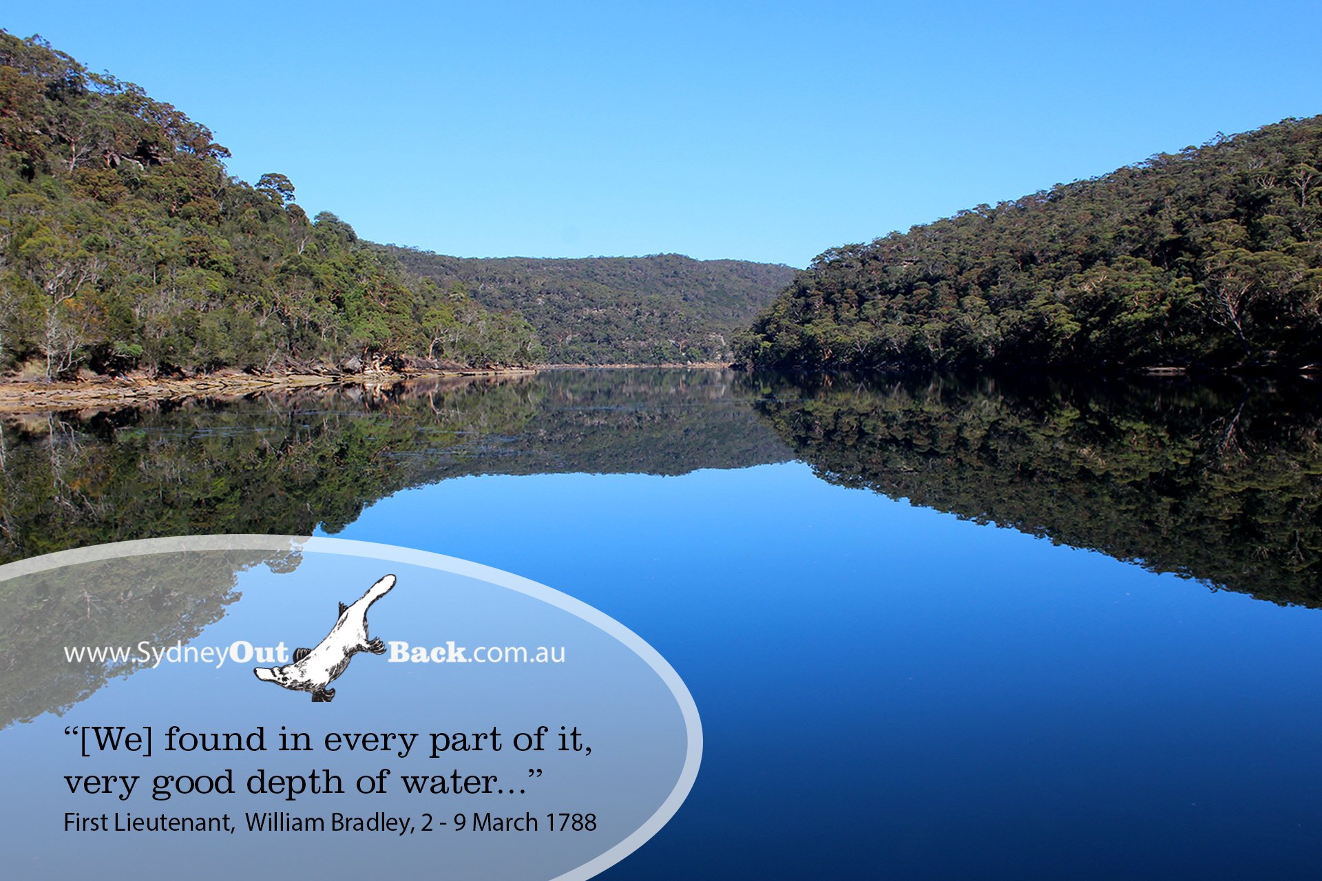
The pristine waterways of Ku-ring-gai Chase National Park were created 10,000 years ago when ancient river valleys were flooded as sea levels rose 10,000 years ago. As visitors with Sydney OutBack journey along Cowen Creek, within the National Park, many comment on how the river banks descend steeply into the water; such were described to “good depth” (to around 30m) by the early explorers in 1788.
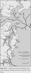 The ancestral river systems of Broken Bay, illustrated by geologist David Johnson (The Geology of Australia 2nd Edition. Cambridge University Press: Melbourne Australia. 2009:233), now rest beneath a complex body of water that has the distinction of being the only place in the world where five waterways meet to meld with the tide: Pittwater, Cowen Creek, the Hawkesbury River, Brisbane Waters and the Tasman Sea.
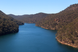
Ku-ring-gai Chase National Park’s waterways exhibit typical characteristics of a drowned river valley estuary:
 Interested in the geology of Sydney OutBack? You’re not alone. Look at Johnson’s illustration and notice the ancestral river that once passed through today’s Palm Beach, south or Barrenjoey Headland. Do discover what happened to it, read our post on the isthmus of Palm Beach, here.
To learn more about Sydney OutBack’s Wilderness and Aboriginal Explorer Tour and Cruise, just click here.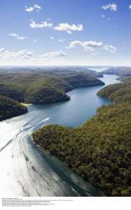
Our tours are also part of Tourism Australia’s Indigenous Tourism Champions Program (ITCP), recognizing that we offer a quality experience that that meets the needs and expectations of international visitors.